
Retaining walls in The Gap: Brisbane property checks
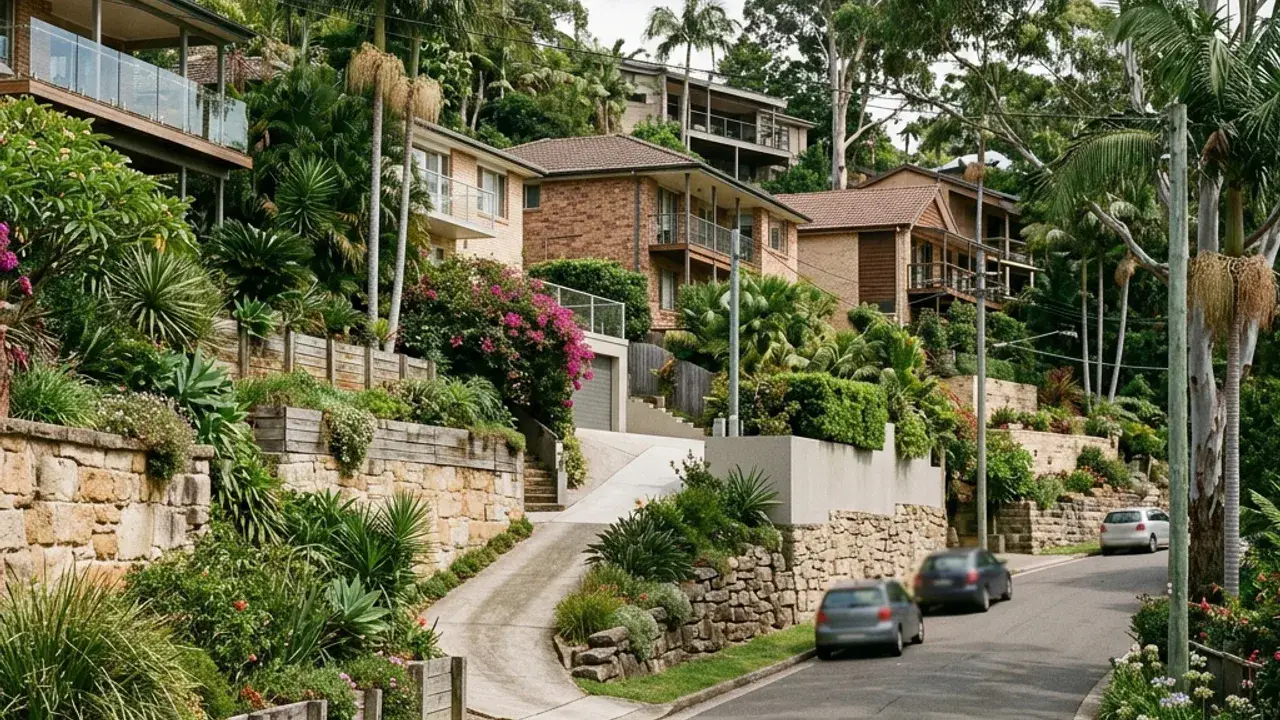
The Gap properties encounter foothill grades rising towards forested ridges. Foothill properties where grade changes, bushland edges and side access should be documented before a wall system is selected. A retaining wall discussion is clearer when the full site fall is photographed and measured rather than treating one exposed wall face as the entire level change.
Access around The Gap can involve long drives and narrow side passages behind established homes. Note the narrowest gate, overhead wires, steps, air-conditioning units and the distance from the street to the wall. These details affect excavation, spoil removal, delivery sizes and whether materials can be handled mechanically or by smaller staged loads.
Local water behaviour deserves a separate note, especially storm flows moving from upper slopes towards Enoggera Creek catchments. Look for staining, soft ground, sediment trails, blocked pits and downpipes discharging near the retained zone. The final design needs an outlet that is practical, maintainable and consistent with the property's lawful stormwater arrangement.
The Gap access, boundaries and project details
Enoggera Reservoir, the Walkabout Creek Discovery Centre and Walton Bridge Reserve place the suburb, but they say nothing about a particular block: the reservoir-side streets and the creek-flat pockets behave differently under the same postcode.
The Gap brief often begins at the street because a wall hidden behind a deep block can be separated from the delivery point by a sloping driveway, established planting and several flights of steps. Photograph that entire route, including the turn from Payne Road or a smaller side street, so the handling method is not based on a gate width alone. Upper gardens near the bushland edge also deserve a vegetation check before excavation lines are fixed. A wall that appears modest from the lawn may support a much longer hillside rising towards the reservoir side of the suburb.