
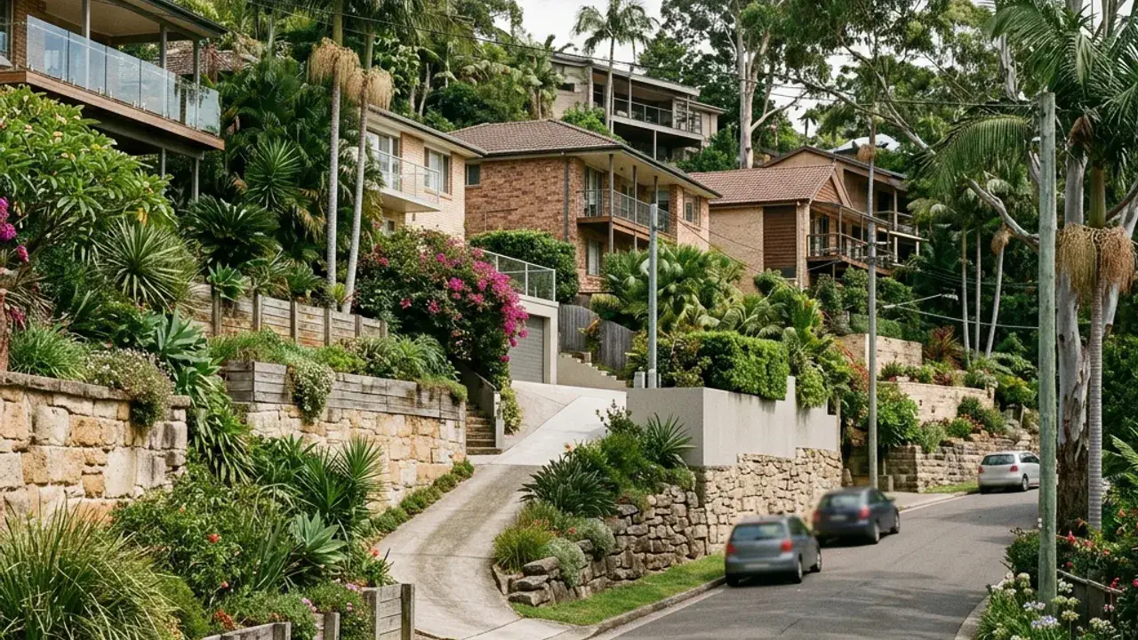
Retaining walls in Kenmore: Brisbane property checks
Kenmore properties encounter larger undulating blocks with long changes in level. Established larger blocks can combine long driveways, creek catchments and constrained side access behind mature gardens. A retaining wall discussion is clearer when the full site fall is photographed and measured rather than treating one exposed wall face as the entire level change.
Access around Kenmore can involve deep setbacks, mature vegetation and variable machinery routes. Note the narrowest gate, overhead wires, steps, air-conditioning units and the distance from the street to the wall. These details affect excavation, spoil removal, delivery sizes and whether materials can be handled mechanically or by smaller staged loads.
Local water behaviour deserves a separate note, especially creek-catchment flows and localised wet ground after summer storms. Look for staining, soft ground, sediment trails, blocked pits and downpipes discharging near the retained zone. The final design needs an outlet that is practical, maintainable and consistent with the property's lawful stormwater arrangement.
Kenmore access, boundaries and project details
Kenmore Village, Akuna Oval and Moggill Creek are what people navigate by, but the wall in question is generally well back from any of them, at the end of a long private driveway.
Kenmore offers more space than many inner suburbs, but distance replaces width as the access question. A rear wall can sit far beyond Kenmore Road behind pools, sheds, established gardens and a long sloping lawn. Mark a realistic machine route and a separate spoil route if they differ. Moggill Creek catchments can leave isolated damp bands after summer rain, so compare dry and wet observations when possible. A long boundary may also cross several soil and height conditions; divide the measurements into sections instead of reporting one average for the whole run.