
Retaining walls in Mount Gravatt: Brisbane property checks
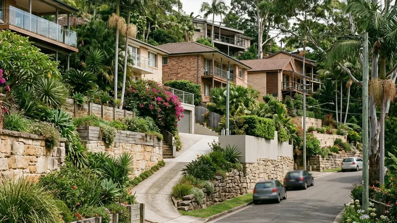
Mount Gravatt properties encounter pronounced foothill grades around Toohey Forest. Steeper foothill properties make full retained height, surcharge and machinery access central to the first assessment. A retaining wall discussion is clearer when the full site fall is photographed and measured rather than treating one exposed wall face as the entire level change.
Access around Mount Gravatt can involve split-level homes and working areas above or below steep drives. Note the narrowest gate, overhead wires, steps, air-conditioning units and the distance from the street to the wall. These details affect excavation, spoil removal, delivery sizes and whether materials can be handled mechanically or by smaller staged loads.
Local water behaviour deserves a separate note, especially fast surface runoff travelling down cut-and-fill sites. Look for staining, soft ground, sediment trails, blocked pits and downpipes discharging near the retained zone. The final design needs an outlet that is practical, maintainable and consistent with the property's lawful stormwater arrangement.
Mount Gravatt access, boundaries and project details
The Mount Gravatt Lookout, Toohey Forest and the Mount Gravatt Showgrounds all sit on ground that falls hard in one direction or another, and that fall is the defining feature of retaining work in this part of Brisbane.
Mount Gravatt's split-level homes make surcharge questions visible in everyday features. A driveway, carport or building pad above the wall can be more important than the garden immediately behind it. Photograph the uphill surface all the way to the next structure and measure the horizontal separation. Steep drives may prevent ordinary delivery vehicles reaching the work zone even when the frontage is wide. During storms, water can run quickly off the mountain side, so document scouring, leaf lines and sediment at the base rather than treating them as routine garden mess.