
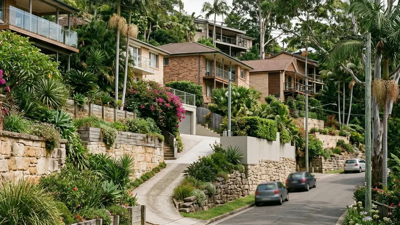
Retaining walls in Ashgrove: Brisbane property checks
Ashgrove properties encounter rolling ground interrupted by creek corridors. Creek corridors and established gardens make runoff routes, vegetation and machinery access useful early checks. A retaining wall discussion is clearer when the full site fall is photographed and measured rather than treating one exposed wall face as the entire level change.
Access around Ashgrove can involve established landscaping and older boundary structures. Note the narrowest gate, overhead wires, steps, air-conditioning units and the distance from the street to the wall. These details affect excavation, spoil removal, delivery sizes and whether materials can be handled mechanically or by smaller staged loads.
Local water behaviour deserves a separate note, especially concentrated flows around gullies and low garden corners. Look for staining, soft ground, sediment trails, blocked pits and downpipes discharging near the retained zone. The final design needs an outlet that is practical, maintainable and consistent with the property's lawful stormwater arrangement.
Ashgrove access, boundaries and project details
Dorrington Park, Ithaca Creek and Ashgrove Golf Club mark the drainage lines this suburb is organised around, and a property's relationship to those low points matters more than its distance from them.
Ashgrove sites can change character within one block, moving from a Waterworks Road ridge to a sheltered garden draining towards Ithaca Creek. Watch what happens at the low corner after rain rather than relying on dry-weather soil colour. Older masonry, timber edging and garden beds may have been added in stages, so one visible face does not necessarily represent one connected wall. Photograph joints between materials and note which terrace supports paths, sheds or mature trees. That sequence can reveal whether a local repair belongs in a wider replacement discussion.