
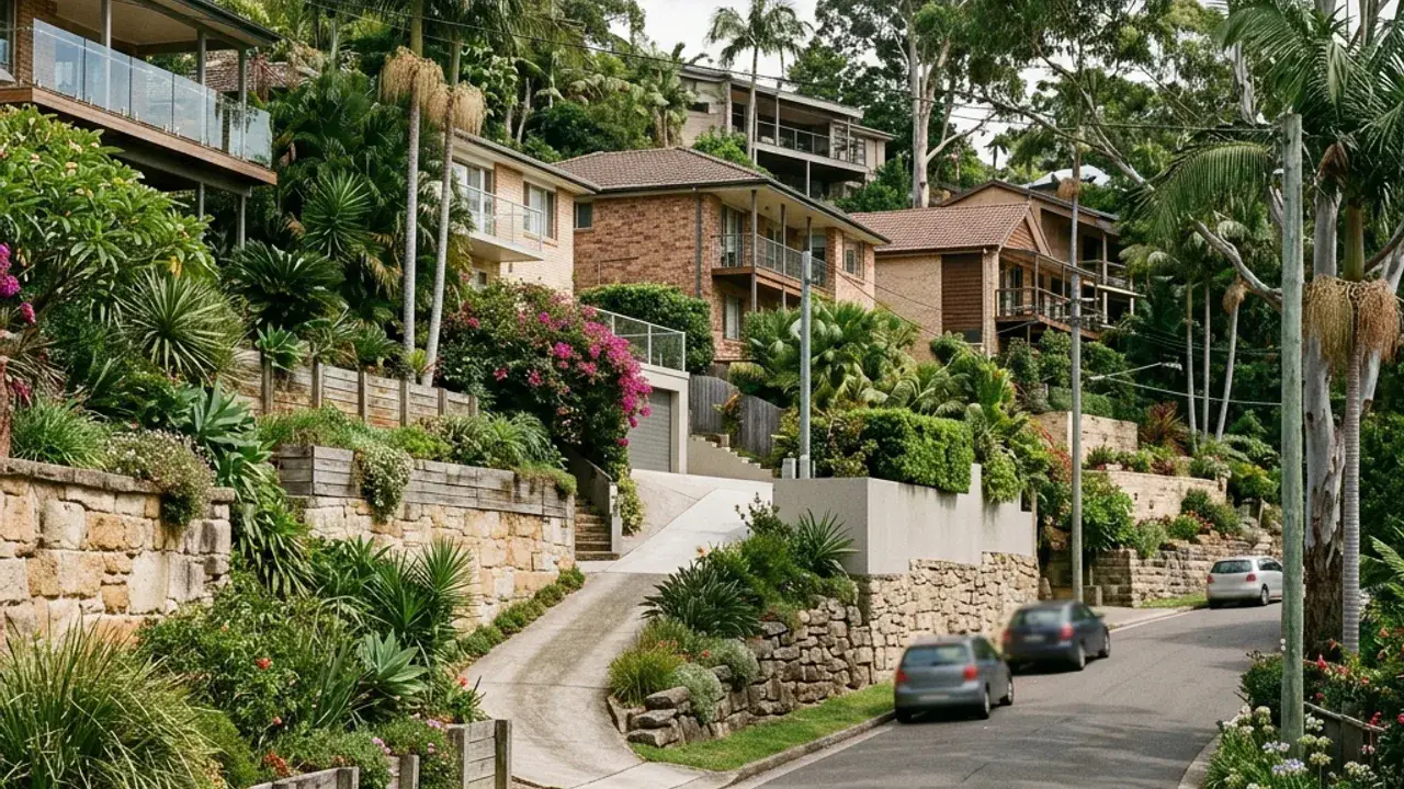
Retaining walls in Indooroopilly: Brisbane property checks
Indooroopilly properties encounter steep river-facing slopes mixed with flatter urban pockets. Mixed-density sites near major roads and the river mean nearby structures, services and excavation protection need clear records. A retaining wall discussion is clearer when the full site fall is photographed and measured rather than treating one exposed wall face as the entire level change.
Access around Indooroopilly can involve busy roads, units and structures close to excavation zones. Note the narrowest gate, overhead wires, steps, air-conditioning units and the distance from the street to the wall. These details affect excavation, spoil removal, delivery sizes and whether materials can be handled mechanically or by smaller staged loads.
Local water behaviour deserves a separate note, especially concentrated paved runoff moving to low boundaries. Look for staining, soft ground, sediment trails, blocked pits and downpipes discharging near the retained zone. The final design needs an outlet that is practical, maintainable and consistent with the property's lawful stormwater arrangement.
Indooroopilly access, boundaries and project details
Indooroopilly Shopping Centre, Witton Barracks Park and the Walter Taylor Bridge show how much traffic and built structure sits close to residential blocks here, which is exactly what complicates access.
Indooroopilly projects often need traffic and building interfaces considered together. Delivery from Moggill Road or a busy local street may be brief, while the wall itself sits below a unit driveway or beside a garage. Show where a truck can stop, where materials can be transferred and how residents retain safe access. River-facing sites can have tall cumulative grade hidden by multiple short walls. A single photograph from the upper patio misses that relationship, so add views from the lowest boundary and across each intermediate terrace.