
Retaining walls in Carindale: Brisbane property checks
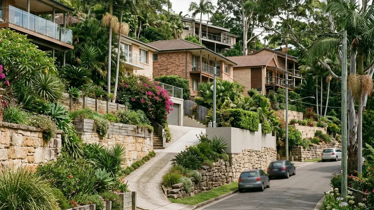
Carindale properties encounter planned estates crossing Bulimba Creek catchments. Creek catchments and planned estates create varied drainage, easement and boundary questions across properties. A retaining wall discussion is clearer when the full site fall is photographed and measured rather than treating one exposed wall face as the entire level change.
Access around Carindale can involve fenced side yards and finished landscaping around family homes. Note the narrowest gate, overhead wires, steps, air-conditioning units and the distance from the street to the wall. These details affect excavation, spoil removal, delivery sizes and whether materials can be handled mechanically or by smaller staged loads.
Local water behaviour deserves a separate note, especially easements and drainage corridors influencing outlet choices. Look for staining, soft ground, sediment trails, blocked pits and downpipes discharging near the retained zone. The final design needs an outlet that is practical, maintainable and consistent with the property's lawful stormwater arrangement.
Carindale access, boundaries and project details
Westfield Carindale, Bulimba Creek and Belmont Hills Reserve outline the catchment this suburb drains into, and that catchment is usually more relevant to a wall's outlet than the street address is.
Carindale's planned streets can conceal drainage and easement constraints beneath orderly landscaping. Before altering a rear or side wall, obtain the available property information and mark pits, easements and the direction of the Bulimba Creek catchment. Access beside a garage may be level yet too narrow for the required excavation plant, while tiled or landscaped surfaces need protection from tracked loads. Around Creek Road and Winstanley Street, include retaining edges associated with estate drainage corridors rather than assuming every wall belongs solely to the individual yard.