
Retaining walls in Ferny Grove: Brisbane property checks
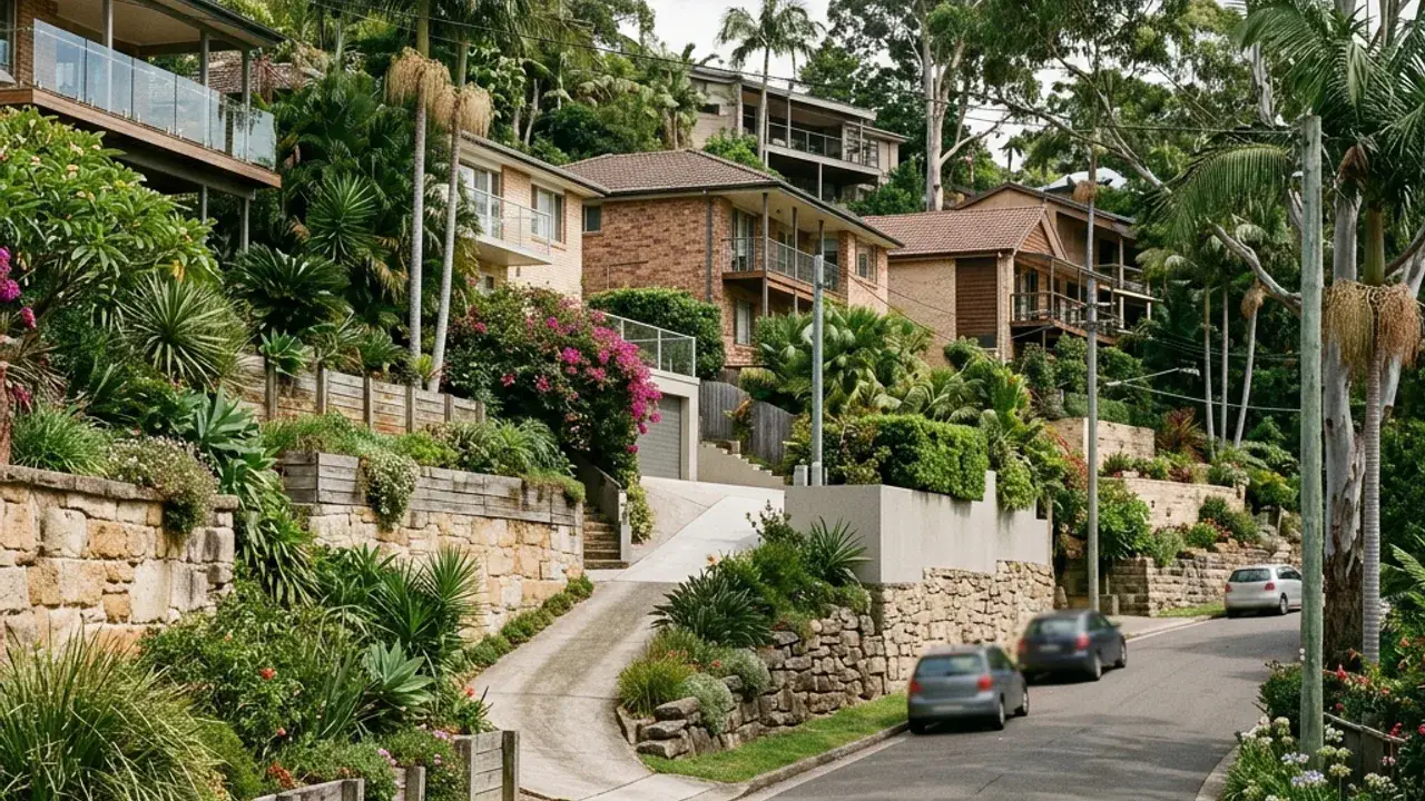
Ferny Grove properties encounter outer north-western foothills with longer slopes. Outer foothill blocks may provide more working room but still need slope, water, vegetation and delivery access assessed. A retaining wall discussion is clearer when the full site fall is photographed and measured rather than treating one exposed wall face as the entire level change.
Access around Ferny Grove can involve larger blocks that still contain trees, sheds and long delivery runs. Note the narrowest gate, overhead wires, steps, air-conditioning units and the distance from the street to the wall. These details affect excavation, spoil removal, delivery sizes and whether materials can be handled mechanically or by smaller staged loads.
Local water behaviour deserves a separate note, especially seasonal flows descending towards Kedron Brook headwaters. Look for staining, soft ground, sediment trails, blocked pits and downpipes discharging near the retained zone. The final design needs an outlet that is practical, maintainable and consistent with the property's lawful stormwater arrangement.
Ferny Grove access, boundaries and project details
Ferny Grove railway station, Kedron Brook and Samford State Forest mark the outer edge of the built-up area, where blocks get larger and the distance from the kerb to the wall gets longer.
Ferny Grove's larger sites allow more staging choices, but they also produce longer water and delivery paths. A wall behind a shed off Upper Kedron Road may be hundreds of metres from the nearest practical unloading point. Record surface strength along that route and whether wet weather makes it unusable. Upper catchment flows can cross open ground before concentrating at a wall, leaving erosion that looks separate from the drainage defect. Follow those marks uphill and photograph culverts, swales or informal channels so the retaining scope addresses the source as well as the base.