
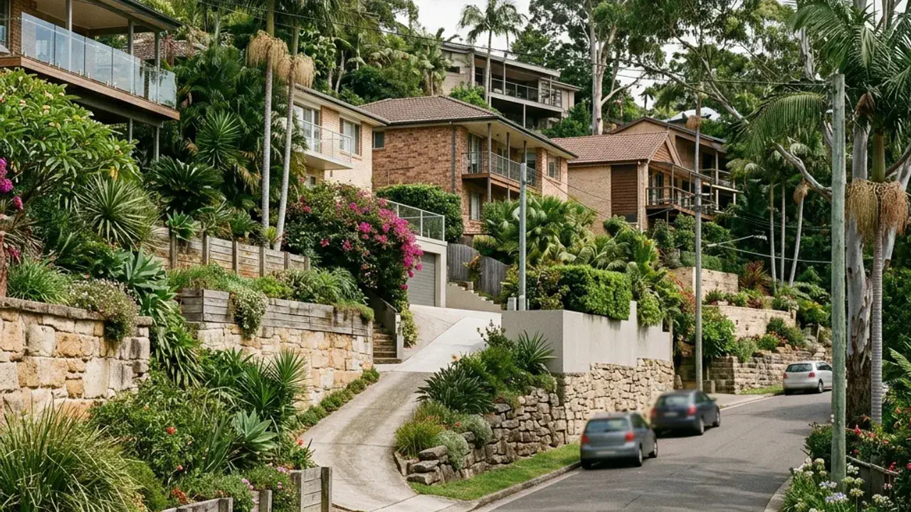
Brisbane retaining walls sit on several different kinds of ground
The city is built across ridges, creek valleys and a river that loops through the middle of it, and the practical consequences for a retaining wall change every few kilometres. The inner western hills around Bardon, Paddington and Red Hill were subdivided tightly onto steep ground, which produces short, sharp level changes on lots with almost no side access. The outer north-west around The Gap and Ferny Grove has the opposite profile: long slopes, generous blocks, and the wall sitting a hundred metres from anywhere a truck can stop.
Between those extremes sit the Mount Coot-tha foothills at Chapel Hill and Kenmore, the river-facing terraces of St Lucia, Toowong and Indooroopilly, the southern foothill grades around Mount Gravatt and Holland Park, and the planned eastern estates at Carindale and Camp Hill where drainage easements were designed in from the start. Each pattern rewards a different first question.
Catchments matter more than street names
Water reaching a wall usually comes from further uphill than the property boundary suggests. Enoggera Creek collects the northern slopes behind Ashgrove and The Gap; Ithaca Creek drains the Bardon and Ashgrove gullies; Cubberla and Moggill Creeks carry the western foothills; Bulimba Creek runs through the eastern estates; and Kedron Brook heads up behind Ferny Grove. Knowing which catchment a site sits in explains why a rear corner stays wet a week after rain when the rest of the garden has dried.
Overland flow paths are the more immediate concern on most residential jobs, because they follow the shape of the ground and the paving rather than any mapped channel. A neighbour's new patio or a redirected downpipe can create one in an afternoon. This is also why an outlet that was lawful and adequate on the original wall may no longer be either.
Access is the constraint people underestimate
Brisbane's older suburbs put houses on stumps above yards that drop away behind them, and the route from kerb to work zone often runs down a side passage barely wider than a wheelbarrow. That single measurement changes the economics of a job more than the wall material does, because it decides whether an excavator can work, whether spoil leaves by machine or by bucket, and whether full-length sleepers can be delivered to the wall or must be cut and carried.
Newer estates trade narrow passages for finished landscaping that cannot take tracked plant, and larger outer blocks trade both for distance. None of these is fatal. All of them need to be known before a price is given, which is why each suburb guide asks for the same photographs of the route rather than only the wall.
Soil and ground conditions vary within a single block
Site classification across Brisbane ranges widely, and reactive clays are common enough that seasonal movement should be assumed rather than hoped against. Fill from earlier subdivision or an old cut-and-fill house pad is also common on sloping lots, and fill has no reliable bearing capacity regardless of how settled the lawn above it looks. A wall founded partly on natural ground and partly on fill will tell you about the difference eventually.
None of that can be read from a suburb name, which is the honest limit of a location guide. What the pages below can do is tell you what is typical nearby, and what to go and look at on your own ground before anyone quotes it.